Costa Rica FKT!
- Feb 27
- 9 min read

FKT: 6d, 9h, 34min -- Self-Supported Female (set the FKT, first females)
ECCR Blog Part 3: When non-trail life (not ready to call it "normal life" or the "real world" because to me, trail-life is the realest) takes hold of me, I completely forget to maintain my blog! Yesterday, I was a guest on a podcast and was asked about my Sprout life, and I realized I have unfinished business over here! Luckily, the blogs have been written, I just haven't published them because it takes time to upload the photos.
Why FKT?
Every FKT stretches the map of what's possible for women. Fastest Known Times for me are not necessarily about my personal best effort ever, but more about creating history within the context of possibility for women and girls watching. The power isn't in the record itself, but in the decision to try and stick with something even with the outcome is uncertain (there is no precedent!).
There had not been a recorded Self-Supported FKT by a woman for ECCR yet, so we set one. There have been plenty of men setting FKTs on this trail, and not seeing female records on the site is something I care about changing. FKT attempts stretch us as athletes and women, but even more importantly, they set an example showing women and girls that they, too, belong.
The trail up until the end had been relatively straightforward. However, things definitely got spicy for us on the last day!
Day 6: Millar de Aves to Nápoles (Stage 11 Part II, 12, & 13).
~25.6 miles, 5,195 feet gain, 7,058 feet descent.
When we left Millar de Aves, we had a bit more climbing left in stage 11 (and yes, it was steep!!!) We reached the highest point on the entire trail about 4.2 miles into our morning at 7,665 feet, and we still had on our jackets! It was chilly and windy that morning. We both thought the highest point would be at a scenic overlook since we had had so many views the previous two days, but it was at an intersection on a busy highway! We snapped a photo, turned right (and downhill), and exhaled a sigh of relief to be off the busy road and to be finally heading net downhill for the remainder of the trail.


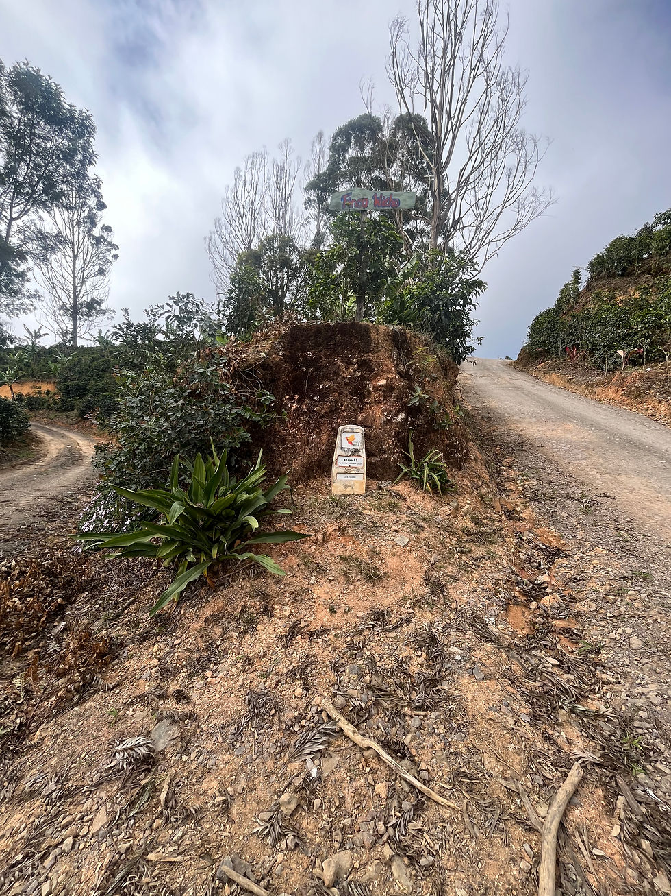
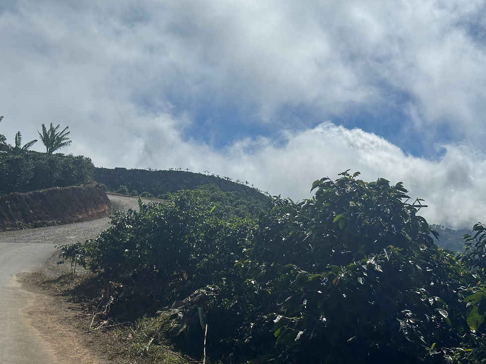
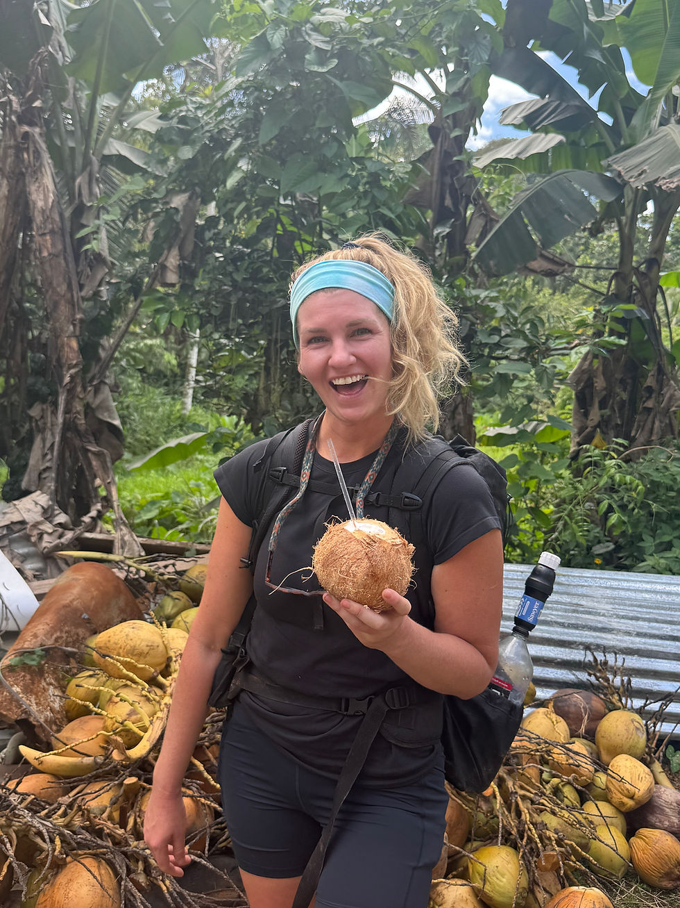
The rest of the day meandered up and down through some beautiful coffee plantations. The area was exposed and sunny. The mornings and first half of the days tend to be sunny while the clouds build later in the day. It was wild to be so up close and personal to the coffee bean pickers. Many of them were picking the beans right on the side of the roads we were walking on.
During a pretty steep and slippery descent, I took a spill. My foot slid, and I landed on my butt and caught myself with my hand and elbow. I was a bit shaken up (a little lost skin and some bruising, but I was fine). I knew I was okay, but falls when you’re carrying a pack are more nerve-racking than without because your center of gravity is thrown off. I unclipped my hip belt and just took a few deep breaths. When Red Stripe got to me, her presence reassured me I was okay, and I got up and started walking again. I knew I needed an emotional reset (and some calories and water -- always). There was a river at the bottom of the descent before the next 3-mile (steep) climb. I wanted to get down there, soak my feet, and take a nice, shady, snack break by the water source.
However, when I approached the bridge over the river, it became apparent that the water was inaccessible. Right then and there, I saw some people and a sign for coffee and tea. We decided to stop and buy some coffee, and the farmers/owners invited us to sit on their porch in some rocking chairs in the shade. It was just the break I needed.
We conversed with the coffee plantation owners, who shared that their coffee was only sold domestically in Costa Rica. I normally don’t drink coffee, but needing a mood change, I went for it. I drank nearly two cups of the pour-over coffee, and it was a different experience than I’m used to. I didn’t feel any GI stuff and absolutely zero jitters. It just hit differently (more tame), and it was also quite tasty (and not bitter)! The wife came out and offered us tamales as a Christmas tradition gift.


After leaving this pit stop, the 3 miles of steep climbing didn’t feel so unbearable.


The day was full of lots of highway and road walking, which made us have tired feet. Grateful again to have cloud coverage in the afternoon and still no rain!


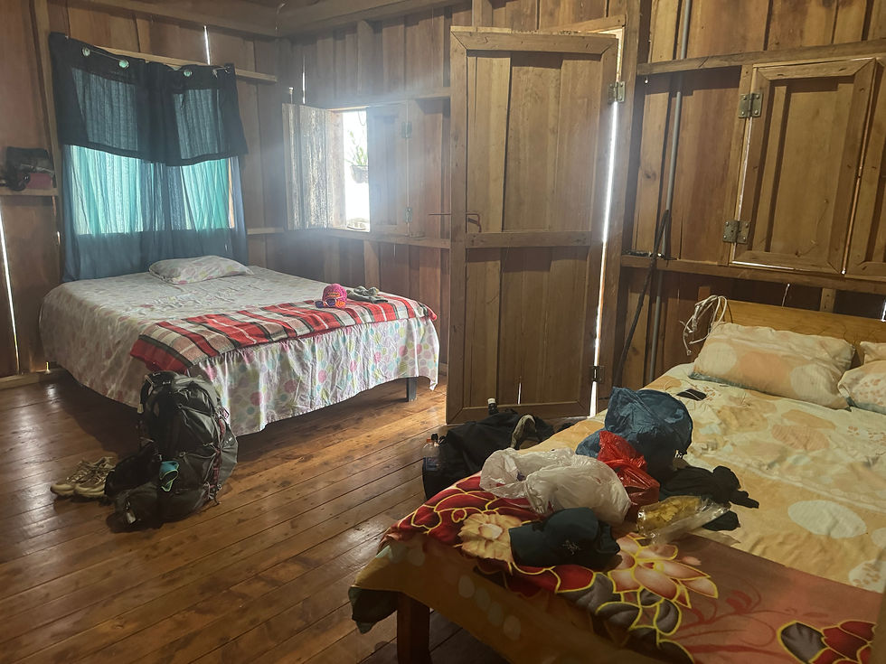
When we finally arrived in Nápoles, we met our hostess, Yendry, and plopped down. We showered, and Yendry had prepared a delicious dinner for us (and so much juice!). We were pretty tired, so we socialized a tiny bit with her and then decided to call it a night around 7:30 pm. Yendry's homestay was as real as it gets. She gave us her bedroom and went to sleep at her sister's house that night, and there were no touristy bells and whistles, but pure kindness from these women of Costa Rica.


Dec 23: Nápoles to Quepos Western Terminus.
Official trail stats: 29.1 miles, 3,318 feet gain, 8,402 feet descent.
In the middle of the night, I woke up to go to the bathroom. Red Stripe had been restless, and I could hear her through the earplugs faintly. When I returned, she asked me, "Do you want to just hike? I can't sleep." It was 12:30 am and, while we had intended to get an early start to our hike, I was kind of hoping to fall back asleep. I replied, "How about 2 more hours?" But then, I heard her eating a bar, and my stomach began gurgling. I was hungry. We hadn't eaten enough for dinner, given how much we had been exerting ourselves. "Well, I'm hungry and awake, and we have a huge day, so yeah, LET'S DO IT!"

As we were packing up, I couldn’t find my headlamp! For safety reasons, we planned to stay close together anyway since it was dark and the middle of the night, but now we would really be tethered as we needed to share Red Stripe's headlamp.
We left at 1:10 a.m., and about 1.5 miles into the day, the road came to a sudden halt. We backtracked briefly, thinking we were lost, but realized we were not. Upon approaching again, we saw with our limited headlight vision a massive landslide!
We attempted to assess stability but heard small rocks falling and crackling sounds, realizing the earth was extremely unstable. We determined the slide was fresh, and we were on a steep mountainside with a sheer drop to the right. We weren't quick about anything. We just sort of hemmed and hawed, not really knowing what to do. We kept evaluating the situation, and got more and more scared as we began to put the puzzle pieces together that this was indeed, incredibly dangerous! Could there be safe passage? Probably not. Where to go then?

Eventually, we heard a voice in the distance and saw a flashlight approaching from the other side of the landslide. A man explained that there had been a smaller landslide earlier, followed by this larger one around midnight. It was SO fresh! All I could think was, this slide was unfinished as we heard the terrifying whispers of the unstable earth.
The man and a few others were camped in their cars about 100 meters back to monitor conditions (I later connected with him online and determined he worked for Waze and reported on the road closure). He confirmed that it was absolutely impossible to cross, as it was way too dangerous, and directed us toward the only possible detour down to a small "town," Naranjillo. Basically, we would be making a triangle; our detour being two sides, and the landslide trail section we needed to go around was the hypotenuse. The man I was yelling across the landslide to was certainly incredibly confused about why two females on FOOT were on the road at 2:00 am. Fair enough. lol.
We were shaken up by this treacherous encounter FOR SURE. Adding significant elevation gain and loss (and seemingly miles) was a tough pill to swallow, and ended up being really hard both mentally and physically. Making such a huge pivot in the middle of the night by adding to an already long day was somewhat unbelievable to us.

The detour was HARD. Maybe the steepest terrain we encountered? The loose rock was so slippery, and it was nearly impossible to make headway at any reasonable pace. Then, Red Stripe's headlamp died! She plugged it into her battery pack to give it a zap while I took out my phone, and we used the phone flashlight while her headlamp charged. I had to buckle the phone awkwardly in my chest strap so I could use both my poles and stay super close so Red Stripe could see as well.


The sun rose shortly after we rejoined the official route to begin Stage 15. We were grateful to have started early!


With the sunrise, our spirits were renewed. We began singing together at the tops of our lungs and playfully approached a glorious morning.

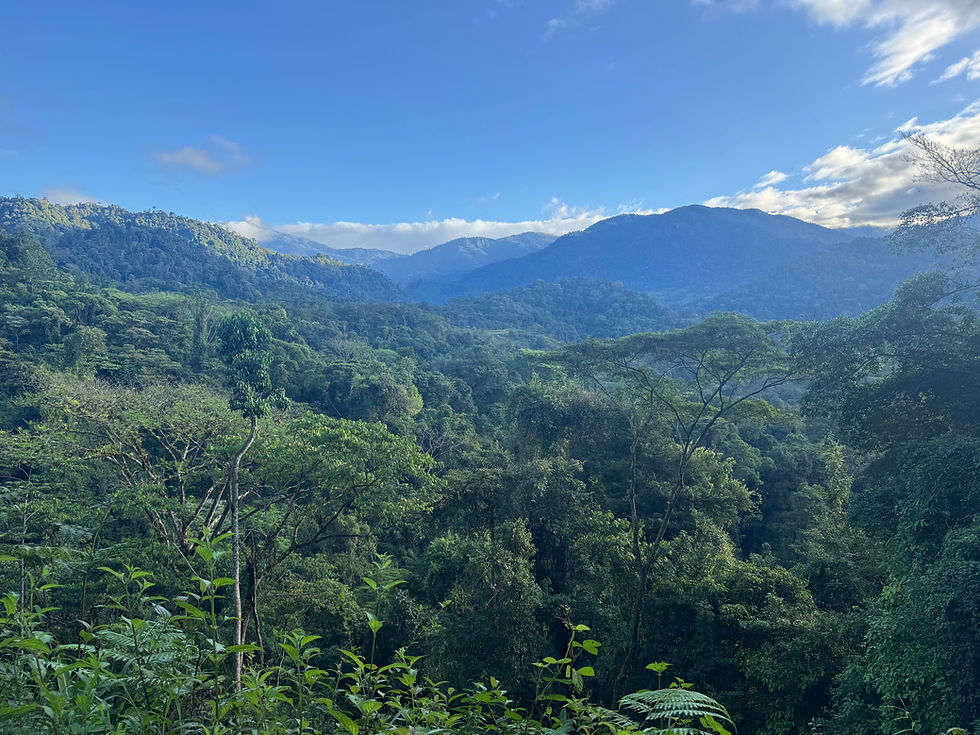
The final descents were long and full of beautiful jungle trees and wildlife.

The final 14 miles to the end were flat and extremely hot. This was such a grueling finish for us. Extensive road walking caused our feet to swell and hurt so badly that we had to stop multiple times to elevate our feet. Both of us were wearing shoes that were worn out, also… oops! The foot pain from the road on this final day just about did me in.


Seeing the Pacific Ocean was an incredible reward for a tough trail. However, the final slog to the terminus was loud and chaotic. There was hardly a sidewalk at times (or it was completely missing), and the roads were busy and crowded. We walked single file and just got into grind mode to knock out the final 5 km.
We reached the Quepos letter sign (Western Terminus) just before 2:30 p.m., took some photos, and hobbled to the Best Western, which was thankfully, directly across the street. I finally took my first hot water shower (although it was so hot in Quepos I didn't even savor it as much as I would have otherwise).


We both finished with heat rash all over our legs and pure exhaustion.

⸻
Final Thoughts:
We think this route feels like a hybrid of the Camino de Santiago (for the vibe and style) and the Appalachian Trail (for its steepness). The soundtrack was incredible, and it is the only trail I've thru-hiked without putting in headphones a single time. I definitely wanted to for the last 5 miles, but surrendering control to the stimulus in my environment was interesting.
I do these adventures to learn about myself as a human, as an athlete, as a woman, and as a role model. This trail was also about cultural immersion and seeing a country I have been to numerous times in a close-up and more rural way. This trail is NOT touristy, which I appreciated so much since the coasts of CR are inundated with tourist economy.
Setting the FKT was about setting an example and putting female names on the map. Hopefully, future women will be inspired to challenge themselves and smash our record!
Official Notes about the Route Deviation Due to Landslide:
We encountered a major landslide in the “El Pito” sector near Nápoles that rendered the official route completely impassable (slightly beyond mile marker 144 on FarOut). This occurred after a smaller landslide in the same area earlier in the week that had already been cleared; this was a new and significantly larger failure that occurred overnight. When we reached the site at approximately 2:00 a.m., the landslide fully blocked the route and posed a clear safety risk. For this reason, we made a necessary detour off the official Camino route, adding roughly 1,000 feet of elevation gain and 1,000 feet of elevation loss (with approximately the same mileage). We rejoined the trail from Naranjillo by Super Don Luis (a steep ~1 km climb). The deviation is clearly visible in our GPS track and supported by photographs documenting the landslide and lack of safe passage.
Aside from this forced natural-disaster deviation, we followed the official Camino de Costa Rica route continuously.
Detour Stats (Source: Google Maps)
Detour:
1,365 feet gain
3,186 feet loss
10 km
Official route:
387 feet gain
2,198 feet loss
10 km
⸻
Gear, Food, & Water
Trekking poles are a must, especially for Stages 3 and 4. Red Stripe found a stick to use as a pole. We did not bring a tent or cooking equipment. Sprout brought a 1 lb lightweight sleeping bag, which she used twice (she sleeps cold), and Red Stripe brought a sleeping bag liner. We brought binoculars but never used them. We carried many snacks from home, which made resupplying easier but added extra weight at the beginning. Sunscreen and sun protection are essential (consider a sub umbrella and definitely a sun hoodie!). We used bug repellent twice but did not experience significant bug issues. Water was everywhere, and we were able to fill up in towns or filter from springs or streams.
⸻
Notes to Females
While Costa Rica is quite safe, we were glad to have each other while hiking in the dark. Many hosts warned that it was unsafe for women to hike at night. I carried a small canister of mace, and we minimized our time hiking in the dark, which limited how far we could travel each day. Unlike other trails, you cannot simply camp anywhere; we had to intentionally coordinate homestays and lodging with hosts in advance.


Comments